
Manassas Neighbors by Block
A block search starts with land, not a name list. The City of Manassas GIS portal helps locate the target parcel and the parcels that touch or sit near it. Assessment and land-record sources answer different questions after that. A parcel is a mapped piece of land, and its tax-map number is the local identifier. A legal description uses lot, block, or other land wording rather than a mailing convention. None of these fields proves every person connected with an address. Keep the source and date beside each fact, especially where a record is only a lead.
| Source | What It Shows About a Block | Access |
|---|---|---|
| City GIS parcel and address layers | Adjacent parcel geometry, address, tax-map number, layers, and related links | Public map; click and browse; reference data only |
| Manassas assessment record | Physical address, account or tax map, values, characteristics, and an owner field when displayed | Address or assessment-account search; owner data refreshes monthly |
| Circuit Clerk land records | Transfers, legal descriptions, grantor and grantee names, and recording details for each parcel | Free Eagle Recorder index from 1918; Clerk and other historical routes for earlier material |
| Manassas General Registrar list | Public registration fields at an address, subject to statutory limits | Public inspection and authorized-request routes, not an open web block directory |
| Prince William HOA search | Association name and public contact information | Association directory, not a member roster |
| RELIC reverse directories | Historical occupant or subscriber and address connections for an edition | In person or staff request; mostly not digitized |
The Manassas standard parcel service is shown below because its public fields demonstrate the parcel-first starting point.
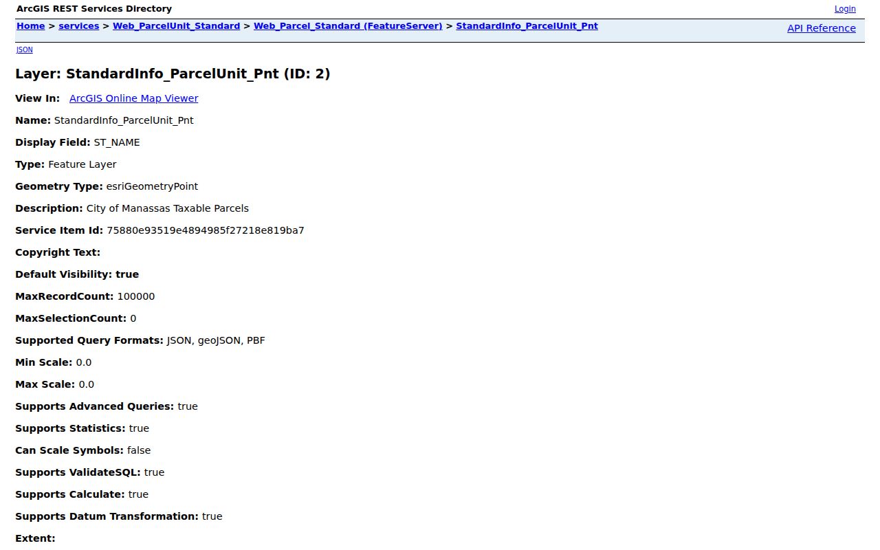
An owner name is not the same as a list of occupants. A tax mailing address can belong to an owner, estate, trust, agent, business, or post-office box, while the situs address identifies the physical parcel. Record both when shown, but do not convert the mailing field into a claim about who is present at the block.
Mapping Manassas Neighbor Parcels
Use visible parcel geometry to map the immediate block. City GIS provides parcel, address, and centerline layers, so the practical method is to select the target parcel and then inspect the touching or nearby polygons at the same scale. The service supports technical distance queries, but visual confirmation matters because GIS boundaries are reference representations. A full named-street chain belongs in the Manassas street directory; this method stays with the immediate block.
- Enter the address in the GIS address search or zoom manually to the target parcel.
- Record the displayed FULL_ADDRESS, TAXMAP_NUM, legal description, zoning, district, and related link if the map exposes them.
- Keep the same scale and click each touching or nearby parcel, recording the parcel identifiers one at a time.
- Add context layers for zoning, historic district, flood hazard, inspection district, parks, neighborhood, and city boundary.
- Use the tax-map number or assessment account in assessment and Clerk records to verify each parcel separately.
Parcel geometry is the bridge, not the answer. A legal description can outlast a street-name change, and a deed can cover more than one parcel. Compare lot, block, subdivision, and tax-map references before treating adjoining shapes as one history.
Manassas Neighbors Map Layers
The GIS centerline layer adds more than a street label. It includes street names, effective, expiration, and update dates, left and right address ranges, parity, municipality, community, county, ZIP, and legacy-name fields. That detail can bridge a historic address or a rural-route reference to a current block. Zoning, historic-district, flood-hazard, inspection-district, park, neighborhood, and city-boundary layers give jurisdictional context, but none identifies a complete household.
The Manassas Scanned Plan Center shown below provides plan and associated-parcel metadata when a block question turns to construction or recorded plan material.
A plan date or plan identifier can date work on a parcel, but it does not establish who was present there. Public permit fields were not exposed on the EnerGov landing page; for a specific older permit or code record, use Community Development at 703-257-8278 or make a focused Virginia Freedom of Information Act request.
Manassas Neighbor Ownership Checks
The Manassas assessment site accepts a property address or assessment account number. It displays assessed values and physical characteristics, but its landing page does not offer an owner-name search. Owner information is refreshed monthly, and the Real Estate Division can be reached at 703-257-8263 when a time-sensitive confirmation is needed. A homestead or exemption flag, if present, can be evidence to examine, not proof that an owner is currently at the parcel.
For a controlling ownership check, use the Circuit Clerk’s land-record route. Start with the current owner, legal description, tax-map number, and last-sale date; search the owner as grantee, the party who received the property; then compare the deed’s parcel description, recording date, instrument number, and grantor, the party who conveyed it. Eagle Recorder’s published online deeds and related-record index and image run begins January 1, 1918. Earlier work moves to Clerk terminals, deed books, microfilm, RELIC, or Library of Virginia material.
Manassas Neighbor Community Layers
Community information is a separate layer from parcel and Clerk records. The public Prince William HOA search lists associations and contact addresses under FOIA, with updates or additions directed to Neighborhood Services. It does not publish association members. City planning names, postal places, historic districts, and association coverage can overlap without matching one another, so a label on a map is not evidence that every parcel belongs to an association.
| Association or Community | Location or Coverage | Public Status |
|---|---|---|
| Sumner Lake Community | Manassas community described as 300 homes with pool, trails, and lake | Public announcements and events; resident registration gates some material |
| Hunter’s Square HOA | Manassas community described as 144 condominium units | Public newsletters, meeting minutes, calendar, and complaint instructions; no member roster |
| Victorian Village Inc. | Poplar Avenue north, Danny Thomas west, Madison Avenue south, and Manassas east; work extends north of Poplar | Public boundary and civic-history information; no public member directory located |
| Historic Manassas Inc. | Historic Downtown and Main Street community context | Public events and community information, not a household directory |
| Prince William HOA search | Regional associations and public contacts | Association directory only; use Neighborhood Services for updates |
The Hunter’s Square HOA page is shown below because it illustrates the difference between public minutes and a private roster.
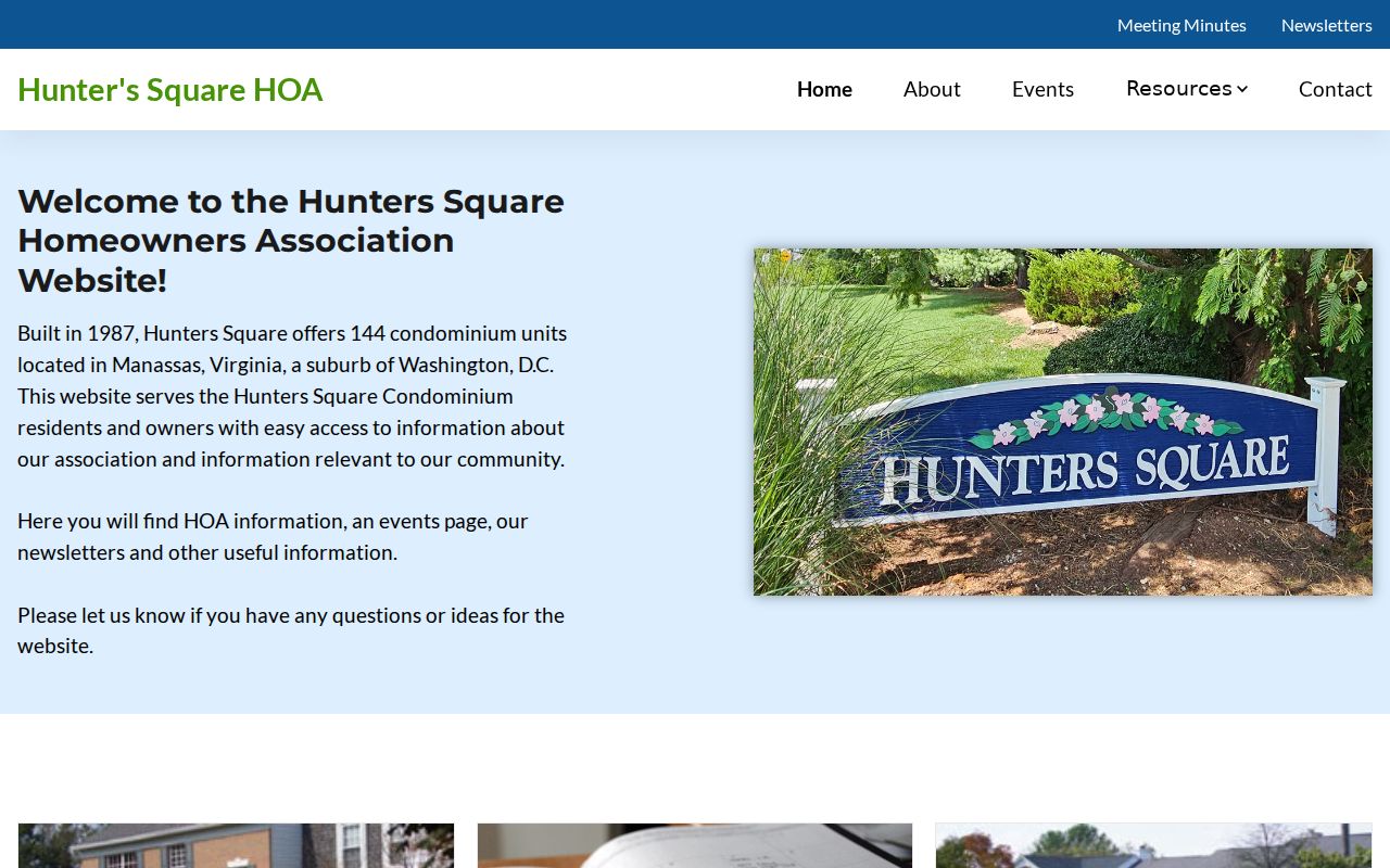
Newsletters and minutes can explain community activity, while they do not establish a current connection to a particular unit. Contact the association through its published channel instead of assuming that a public notice reveals private membership.
The Victorian Village history is shown below because it supplies a rare published local boundary.
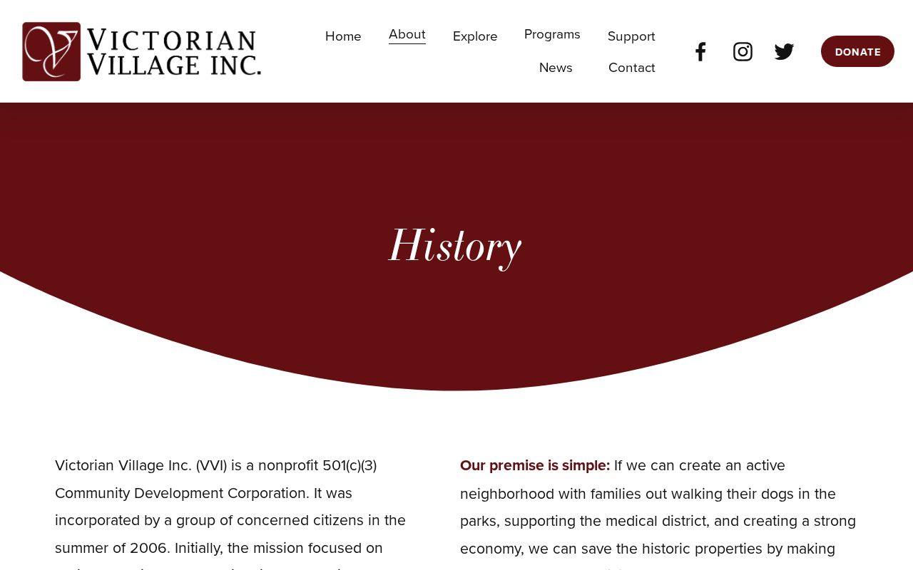
Victorian Village’s stated edges are useful geographic context. They do not turn a planning label or community boundary into a list of people at an address.
Manassas Neighbors Voter Limits
Virginia public voter lists can show name, address, year of birth, gender, and applicable election districts, and they may be inspected at the General Registrar during business hours. They are not an open online block directory. Day and month of birth, Social Security numbers, registration-agency identity, and certain protected information are excluded. A qualifying voter may supply a post-office box that replaces a residence street address on the public list.
Virginia Code § 24.2-405 restricts furnished voter-list recipients and bars Internet republication as a searchable database. Public inspection and an authorized list request are different channels with different rules. The live local contact route is the state’s Manassas City registrar lookup, so confirm current office details before visiting. A stale registration status is not proof that a person is currently at an address.
Manassas Neighbor Source Comparison
Official and commercial sources answer different questions. A commercial aggregation category may combine old address, subscription, or other data, and the research record warns that those results can be stale or wrong. Start with the parcel map for block geometry, move to assessment for current tax-record context, and use the Clerk for a deed or legal-description check. That order keeps the source trail visible.
| Official parcel, assessment, and Clerk records | Show their own fields, dates, and legal or tax-record context. Verify each parcel through the custodian that controls the fact. |
|---|---|
| Commercial aggregation category | May be incomplete, outdated, or mismatched. Treat it only as a lead and do not republish a block list. |
| Association and civic sources | Can explain boundaries, public contacts, events, or notices, but are not evidence of membership or current presence. |
When a map label, mailing address, or compiled result conflicts with a deed, the Clerk’s record is the ownership check. When the question is only about map placement, the GIS view is useful but remains reference data.
Manassas Parcel Map Myth
A parcel map is not an official deed, survey, or final ownership ruling. The city’s GIS disclaimer assigns deeds and plats to the Circuit Court Clerk, assessed values and property characteristics to Real Estate Assessment, zoning to Community Development, and flood boundaries to FEMA. The map is valuable for navigation across adjacent geometry and layers, then the controlling record must answer the legal question.
Legacy street-name fields and parcel identifiers are especially helpful when comparing old records, but they are a reason to verify, not a reason to skip verification.
Manassas Neighbor Privacy Limits
Some block information is not public or is intentionally incomplete. Parcel material does not provide a full household list. Utility and delivery accounts, protected-voter actual addresses, juvenile and family information, and private association rosters remain outside the public block workflow. Virginia’s Address Confidentiality Program under Code § 2.2-515.2 uses a designated address and Attorney General mail forwarding for qualifying participants; the substitute address is not proof of an actual location.
Manassas property owners can request Internet suppression of the owner name through the assessment system at realestate@ci.manassas.va.us. Assessment and property details remain available. Motor-vehicle address data is not a substitute source because the federal Driver’s Privacy Protection Act limits disclosure of personal information from those records.
Lawful personal use. Parcel, Clerk, and community records support personal, historical, civic, and safety research. Public availability does not authorize surveillance, harassment, or coercive contact; Virginia’s stalking law can apply to repeated conduct intended to place someone in fear.