
Walking a Manassas Street Record
A Manassas street directory works one parcel at a time. Begin with the physical, or situs, address in the City assessment database. Then use the City GIS parcel and centerline layers to see the tax-map number, nearby geometry, and any related map context. Use the tax-map number, legal description, and last-sale clue to find the recorded deed. A later directory can supply a dated name only for its particular edition. The order matters because a street name alone is too broad for a dependable record trail.
- Enter the target address or assessment account in the Manassas assessment database and record the address, tax-map number, legal description, and displayed sale data.
- Open the City GIS parcel and centerline layers, then browse the street visually instead of treating a map as a bulk roster.
- Use the legal description or owner name as a party search in Eagle Recorder, checking the recording date and instrument reference.
- Read the deed image or Clerk record to confirm that the parcel, not only a similar street address, is the one in question.
- For a dated household question, ask RELIC staff for a matching reverse or telephone directory edition and compare its address entry.
Manassas Address Search Fields
The City of Manassas assessment portal accepts a property address or assessment account number. Its public landing page does not show an owner-name, parcel-number, ZIP, date, or document-type search. That makes it the right first stop for a known address, not an all-name Manassas street directory. Owner information is refreshed monthly, and the Real Estate Division can answer a more current ownership question at 703-257-8263. A web display can suppress an owner name while retaining assessment and property details, so a missing name needs cautious interpretation.
| Manassas control | Street-search use |
|---|---|
| Property Address | Text address search; normalize the street suffix and unit if the first attempt fails. |
| Assessment Account Number | Alternative exact identifier for the city property record. |
| Owner Name | A result or land-book field when available, not an exposed landing-page search field. |
| Mailing Address | May appear with the assessment record but can belong to a nonresident owner, agent, trust, or post-office box. |
Note: Label a parcel’s situs and mailing fields separately. Neither field alone proves who occupies the location today.
Manassas Parcel Keys
Street wording changes more easily than parcel identifiers. The public parcel service exposes fields such as FULL_ADDRESS, TAXMAP_NUM, DB_PG, ZONING, USE_CODE, CLASS, DISTRICT, LEGAL_DESC, land and building values, last-sale date and price, plus COR_LINK. A tax map such as 101-34-BK7-21 is a bridge from a postal address to a legal record. Copy it exactly with the legal description, lot, block, subdivision, or other parcel language before a deed search begins. A parcel can be consolidated or divided, so a current outline may not match an older instrument without that comparison.
- Parcel
- A mapped tract used for assessment and recordkeeping.
- Situs address
- The physical location assigned to the parcel.
- Plat
- A recorded map that can show lots, blocks, easements, and subdivision layout.
- Criss-cross directory
- An address-ordered section that can connect a historic street entry to a listed name.
Manassas GIS Street Layers
City GIS is the visual route through a Manassas street directory. Public layers include parcels, addresses, centerlines, zoning, historic districts, flood hazards, inspection districts, parks, neighborhoods, and the city boundary. Centerline data also carries left and right address ranges, parity, postal and community fields, update dates, and legacy street-name fields. That is useful when an older document has a former street label or different postal wording. It is not a title record. The City directs users to the Circuit Clerk for official deeds and plats, to Real Estate Assessment for assessed values, and to Community Development for zoning.
The Manassas EnerGov map service lists the address, parcel, and context layers available for a street review.
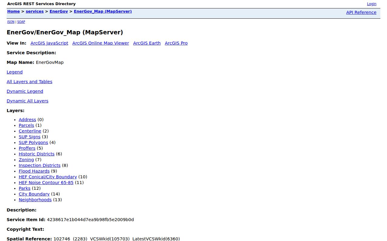
Use map geometry to identify the next parcel, then use assessment and Clerk records to verify the result.
Manassas Records By Street
Different address records answer different questions along the same Manassas block. An assessment result gives current property evidence. GIS identifies the parcel and street geometry. The land index supplies recorded transfers. A plan or permit can date physical work, while a library directory describes a historical listing for one edition. None should be stretched beyond its purpose.
| Street record | Manassas keeper | What it contributes | Access channel |
|---|---|---|---|
| Assessment and land book | Commissioner of the Revenue | Situs, account or tax map, physical detail, and owner data where displayed | Address/account portal or Real Estate Division |
| GIS parcel and centerline | City GIS | Parcel geometry, address ranges, legacy names, zoning, and district context | Public map and service, reference only |
| Land records and plats | Circuit Clerk | Recorded parties, instrument placement, legal description, and plat trail | Free index, paid image, terminal, or written request |
| Plans and permits | Community Development | Plan metadata, issue date, work description, and inspection lead | EnerGov, scan center, phone, or focused FOIA request |
| Reverse directories | RELIC | Historic subscriber or listed household by address | Library collection and staff assistance |
The parcel number ties assessment, deed, and plan references together. The street name gives geographic context but is not enough by itself to prove a parcel match.
Manassas Street Deed Chain
Eagle Recorder searches parties and instrument data, not a guaranteed modern street address. Start with the current owner as grantee near the assessment last-sale date, then compare the deed’s legal description with the tax map. A result can supply grantor and grantee names, instrument number or book and page, recording date, document category, legal description, consideration where populated, and related-document links. The seller on a verified deed becomes the next grantee search for the earlier transfer. Search spouse, estate, trust, and organization variants when the record calls for them.
Deed and related land-record images and indexes are online from January 1, 1918. The free index accepts partial names, party, date range, document category, legal filters, book/page, or instrument number. Images cost $0.50 each plus a $2 internet convenience fee. Clerk public terminals avoid that convenience fee and charge $0.50 per copy. Certified copies cannot be certified online.
The Circuit Clerk land-records access page explains subscriber and occasional-user options.
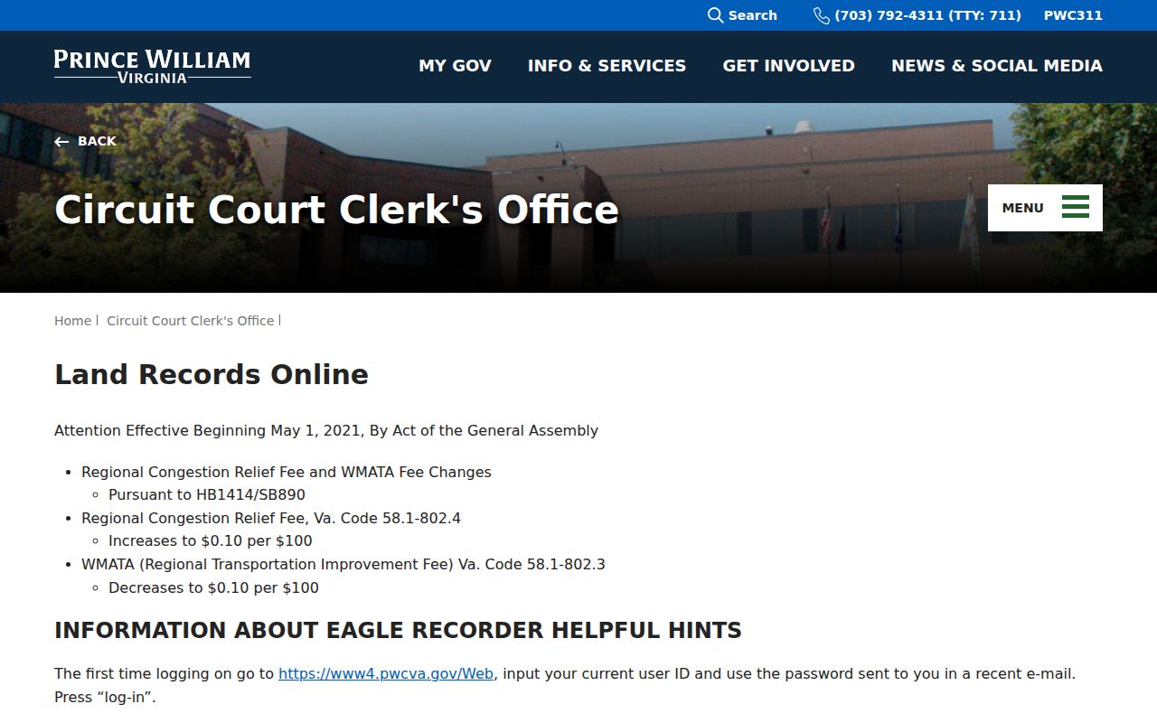
For a pre-1918 link, use the Clerk’s public materials, RELIC, Library of Virginia microfilm, or the early deed indexes instead of declaring the chain complete.
Manassas Permit and Plan Trail
A building change can help date a street history without identifying every person tied to it. The EnerGov self-service landing page displayed Login or Register rather than public name, address, or date search fields. City GIS exposes address and parcel layers, and the scan-plan center supplies plan metadata such as plan name, ID, year, sheet descriptions, associated parcels, and addresses. For an older permit or code question, call Community Development at 703-257-8278 or submit a narrow request for the address, time range, plan number, permit issue date, applicant or owner field, and inspection history.
The Manassas EnerGov self-service landing page shows why a targeted department request may be necessary.
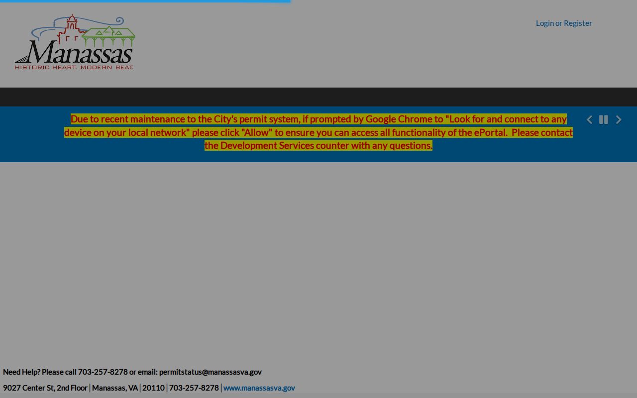
A code case can establish a chronology of a location, but it does not establish that a named individual lived there.
Manassas Citizen Self Service is a separate route for business licenses, parking tickets, and general invoices.
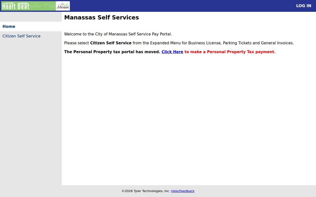
Its public landing page is a payment and service route, not a confirmed historical license-name index.
Manassas Reverse Directory Years
RELIC’s historical collections add the backward-facing portion of a Manassas street directory. Its local telephone holdings include 1903, 1931, 1941, and 1951, plus regional runs from 1958 through 2009 with gaps. Manassas-area city directories cover 1960 through 1983 and 2001. Later editions may have an address or phone-number criss-cross section. First read the alphabetic entry, transcribe the edition’s abbreviation key, then verify the address in the reverse section. Directory wording can show a listed subscriber or household for that edition, but gaps and omissions remain.
For the complete historical collection trail, use the Manassas city directories page rather than assuming a digital search covers every local volume.
Manassas Voter List Boundaries
Virginia voter material is not an open online Manassas street directory. A local public list may be inspected at the General Registrar, and supplied lists are limited by statute and authorized uses. The public fields can include name, address, year of birth, gender, and districts, but protected addresses and post-office-box options create intentional exceptions. The voter’s personal Citizen Portal has a separate name, date-of-birth, last-four, and locality workflow. Do not build, publish, or treat a street-wide list as an unrestricted personal roster.
Note: A property record and a voter record answer different questions, and their difference is a reason to verify rather than force a match.
Manassas Street Directory Limits
A parcel owner is not a complete household list. Public records do not create a route to private utility, delivery, DMV, juvenile, protected-voter, or Address Confidentiality Program data. The City assessment display can suppress an owner name while keeping property characteristics visible. Virginia’s GIS disclaimer also warns that datasets update on different schedules and that official departments control corrections. Treat the map as a locator and the custodian record as the source of authority.
Lawful personal research. Use Manassas street records for family history, property curiosity, civic questions, or an estate trail. Repeated unwanted conduct, harassment, or stalking can violate Virginia law.