
Manassas ZIP Code Coverage
The Prince William regional ZIP map identifies four current rows associated with the Manassas postal place. It is useful as a regional starting point, not as a municipal-boundary map. Each row below needs an address-level check because postal delivery areas can extend beyond the independent city. The 20111 row deserves extra care because it is labeled for both Manassas and Manassas Park.
| ZIP | Areas Covered | Post Office | Notes |
|---|---|---|---|
| 20109 | Manassas postal place | Not separately identified on the regional map | Its postal footprint can include addresses outside the city boundary. |
| 20110 | Core Manassas postal place and city addresses | Manassas Post Office references use 20110 | Confirm a particular address rather than treating the label as a boundary. |
| 20111 | Manassas and Manassas Park | Shared postal place | Check the municipality in city GIS or assessment data. |
| 20112 | Manassas postal place | Not separately identified on the regional map | Regional coverage can reach outside the independent city. |
The map also shows nearby postal places such as Bristow, Gainesville, Nokesville, Woodbridge, and others. Those are not additional Manassas city rows. In practical use, the Manassas ZIP code directory should narrow an address before a city jurisdiction, parcel, or election question is decided.
USPS Checks for Manassas ZIPs
The official USPS lookup is the final delivery check. It offers ZIP Code by Address, ZIP Code by City and State, and Cities by ZIP Code modes, plus FAQs. Address lookup uses street address, city, and state; an apartment or suite, company, and optional ZIP can refine the result. A city-and-state lookup can return more than one match, so resolve it with the street address.
| USPS field or mode | How it works |
|---|---|
| ZIP Code by Address | Enter Street Address, City, and State. Apt/Suite/Other, Company, and ZIP can refine the match. |
| ZIP Code by City and State | Enter City and State to obtain the complete postal list, then resolve multiple results by address. |
| Cities by ZIP Code | Enter a ZIP to see associated city names, which are postal labels rather than proof of jurisdiction. |
| Find | Submits the selected lookup mode. |
The USPS ZIP Code Lookup shows the available lookup modes and address-standardization guidance.
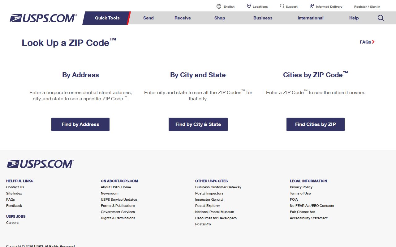
Use the returned delivery information to standardize the address, then move to a map or record source. A USPS result does not confirm that a particular person or organization is at that address.
Manassas ZIP Boundaries and Limits
Postal geography and city geography answer different questions. A ZIP routes mail. The City of Manassas boundary determines city jurisdiction. The GIS map supplies parcel, address, centerline, neighborhood, and city-boundary layers, while the assessment system ties a taxable parcel to city records. For an address near an edge, confirm the delivery ZIP with USPS and then inspect the city-boundary layer rather than relying on a place name alone.
That distinction also helps with older records. A historic document may say Manassas because of the broader postal place or regional courthouse setting, even when the modern parcel lies beyond city limits. The postal directory is an address-organizing tool, not evidence of city residence, ownership, or voter registration.
- ZIP
- A postal delivery area. It can cross a city boundary and does not establish a person's location.
- ZIP+4
- An added four digits that narrow delivery sorting beyond the five-digit ZIP. It is not a separate city jurisdiction.
- PO-box ZIP
- A ZIP used for post-office boxes or sorting. It should be verified before being treated as geographic coverage.
- Unique ZIP
- A ZIP associated with a single high-volume recipient or institution. It identifies mail routing, not a general neighborhood.
- Carrier route
- A mail-delivery sequence within postal operations. It is not a resident roll or municipal boundary.
Manassas GIS ZIP Fields
City GIS centerline data includes postal code, postal community name, incorporated municipality, unincorporated community, county, state, left and right address ranges, parity, legacy street-name fields, and update-related fields. That makes it especially useful when an old source uses a different street label or when a postal-place name creates doubt. It is also a way to compare a street address with city-boundary and neighborhood layers.
The city describes GIS as cartographic and reference data. Deeds and plats remain with the Circuit Court Clerk, assessed values and property characteristics remain with Real Estate Assessment, and a boundary question may require the proper city source or a licensed surveyor.
The City of Manassas GIS disclaimer explains this division between map data and the controlling record.
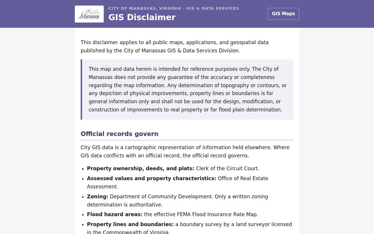
Use the map to orient an address and compare layers, then verify the relevant fact with the office that maintains it. A parcel display is not a deed or a survey.
Manassas ZIP Resident Process
Start with a complete address, not a ZIP-only name search. The postal check confirms delivery formatting. City GIS can then place that address against postal, centerline, parcel, and city-boundary information. If the parcel is inside Manassas, the assessment site accepts the property address or an assessment account number. Its landing page does not show a ZIP filter or a ZIP-wide owner export, so a wide search cannot be promised from that source.
- Enter the full street address in USPS lookup and record the standardized delivery form and ZIP.
- Check that address in City GIS, including the postal and city-boundary context.
- For a city parcel, search the Manassas assessment site by property address or assessment account number.
- When the question is ownership history, use the parcel identifiers and legal description with the Circuit Court Clerk's land-record index.
- For an old address, compare its legal description, tax-map number, and legacy street-name fields before assuming a direct match.
When a postal area has been narrowed to a named street, the Manassas street directory has the fuller address-by-address workflow. A mailing address in an assessment record can belong to an owner, trust, agent, or post-office box, so it must not be recast as a list of occupants.
Note: A ZIP can narrow an address search, but it cannot establish a household, current presence, or the correct jurisdiction without another official record.
Manassas Assessment ZIP Limits
The City of Manassas assessment site is useful only after a city address or assessment account is known. It covers city residential and commercial parcels and shows assessed values and physical characteristics. Owner information is refreshed monthly, while the landing page exposes address and assessment-account searches rather than owner name, parcel number, or ZIP filtering.
This limitation matters when someone wants a ZIP-wide owner result. No confirmed public ZIP-wide owner filter is available on the landing page. Use the official address or account route, and contact the Real Estate Division for an ownership question that needs a more current answer. Owners may also request suppression of their name from Internet display while assessment and property details remain visible.
Manassas Voter-List ZIP Limits
Virginia's citizen portal is for a voter to view that voter's own registration information. Public voter lists are handled through the General Registrar and statutory request rules, not as a ZIP-based resident directory. Under the 2025 request form, filters include statewide, congressional, state senate, House of Delegates, superward, election, town, locality, and election district. ZIP is not listed as a public filter.
Public inspection fields are limited, and the law excludes Social Security numbers, day and month of birth, registration declination, and agency identity. A qualifying voter may use a post-office box in place of a residence street address. Department-supplied lists have defined recipients and uses, and they cannot be placed online as a searchable database. An eligible requester completes the form, chooses a permitted client type and locality or district filter, and submits it through the Department's stated email route.
Virginia's voter-list access law sets the recipient and use limits for supplied voter lists.
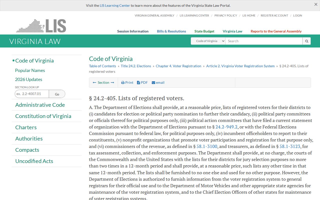
The right path is to select City of Manassas in the live registrar contact lookup or use the permitted request process. Do not turn inspection or requested data into a postal resident list.
Manassas Registry ZIP Searches
The Virginia State Police registry provides a public-safety search with a ZIP field and an option to include contiguous ZIP codes. Its neighborhood map can use street address, city, ZIP, radius, and county or independent city. That is a registry-specific geographic tool, not a complete list of Manassas residents, and a map pin is not proof of present physical location.
The Virginia State Police services page links to the public registry route and related forms.
Use the registry only for its stated public-safety purpose. An unlisted name does not show that a person is absent from a community, and an entry should be read with the registry's own current-status information.
Manassas 20108 Needs Verification
20108 appears in historical USPS grouping references and post-office-box references for Manassas, but it is not one of the 20109 through 20112 Manassas rows on the 2024 regional map. Treat it as a possible sorting or post-office-box ZIP until USPS confirms the specific address. It should not be presented as geographic city coverage based on the historic reference alone.
Older schedules grouped 20108 through 20110 and 20111 through 20113 around Manassas, while the current regional map uses a different set of Manassas rows. That supports a verify-current-ZIP warning. No primary source located an exact split or realignment date for each ZIP, so a precise change date would be speculation.
Manassas ZIP Code Directory Boundaries
A Manassas ZIP code directory is most reliable when it keeps the postal, parcel, and legal layers separate. USPS validates mail delivery. GIS maps the address and city context. Assessment records connect a taxable parcel to city data. Deeds use a legal description, lot, block, parcel, or tax-map reference. Voter records may use a residence address or a protected post-office box. None of those keys means exactly the same thing.
For family history, estate work, a former classmate, or a consumer-safety question, preserve the source and date for every result. If a boundary or record remains unclear, ask the office that holds the record for a narrowly described address, date range, and record type. Virginia FOIA requires a reasonably specific request and generally requires a response within five working days, subject to the law's permitted responses and extension.
Note: Keep the postal label with the original document, but use the city boundary and custodian record to decide what the address actually means.